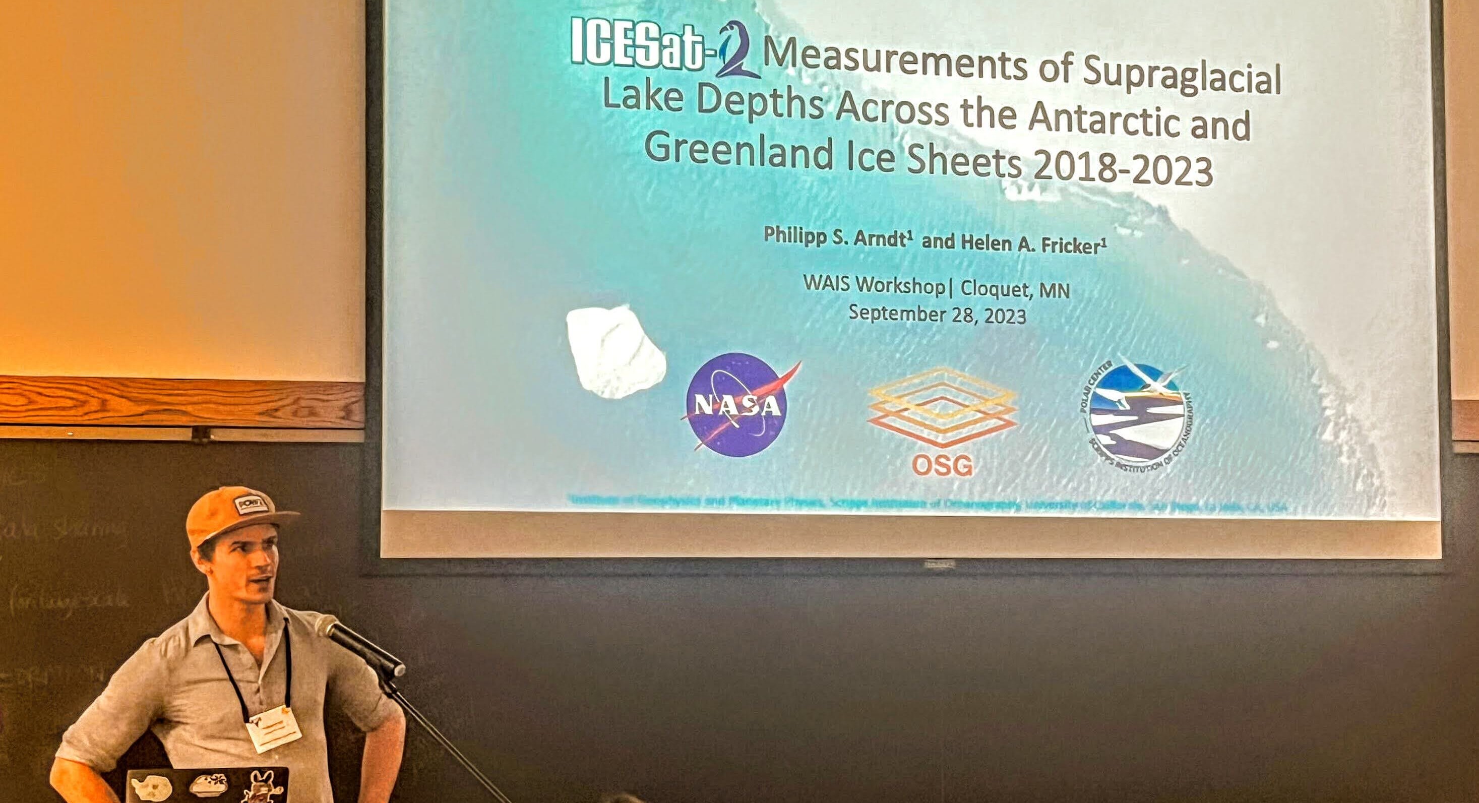
ICESat-2 Measurements of Supraglacial Lake Depths Across the Antarctic and Greenland Ice Sheets 2018-2023.
Date:
I applied an algorithm for automated detection and depth determination of supraglacial lakes on the ice sheets in ICESat-2 photon point clouds to all available data granules using distributed High-Throughput Computing on the Open Science Grid’s Open Science Pool. I presented preliminary results based on the >20,000 lakes that I discovered in the data.
Accurate projections of Antarctica’s contribution to future sea level rise require better understanding of relevant mass balance processes for inclusion in ice sheet models. Seasonal surface melting is widespread across the Antarctic ice sheet’s coastal margins, forming complex supraglacial hydrological networks that evolve quickly in response to regional atmospheric drivers. Pooling and storage of meltwater in supraglacial lakes can weaken and fracture the floating ice shelves, and has been linked to their collapse by hydrofracture. This ultimately leads to accelerated discharge of upstream grounded ice into the ocean, which causes sea level rise. In a warming climate, surface hydrology on Antarctica’s grounded ice is likely to become increasingly similar to Greenland’s current ablation zone, where supraglacial lake drainages can lead to bedrock lubrication and speed-up of grounded ice flow. Both this “Greenlandification” of the Antarctic margin, and the loss of ice shelves are highly uncertain factors in future projections of Antarctica’s contribution to sea level rise. To understand the underlying mechanisms and assess their impacts, we need accurate estimates of ponded water volumes on both ice sheets. Due to these lakes’ inaccessible locations and ephemeral nature, few direct meltwater depth measurements exist. Current estimates are inferred from passive optical satellite imagery, based on poorly-constrained models of light attenuation in water. Recent studies have shown that NASA’s Ice, Cloud, and land Elevation Satellite-2 (ICESat-2) photon-counting laser altimeter is capable of obtaining accurate supraglacial lake depths. Where the instrument’s green light is able to penetrate the water column and reflect back from the lake bed, the photon-level data product (ATL03) contains a vertical point-cloud transect, showing both the lake’s surface and its bed. In principle, ATL03 can be used to determine water depth by fitting lines to both the lake’s flat surface and to its bed below, taking their elevation difference, and correcting for the refractive index for the speed of light in water. However, the ATL03 data catalog holds 500 terabytes of unstructured point cloud data, and less than 0.01% of data over the ice sheets contains melt lakes, which has made it challenging to use for this application. We developed a fully automated and scalable algorithm for lake detection and depth determination at 5 m along-track resolution, making it possible to extract melt lake depths from ICESat-2’s entire data catalog in an efficient and reproducible manner. We present the resulting complete data set of supraglacial lake depths across both ice sheets between October 2018 and April 2023. Where available, this data includes contemporaneous cloud-free Sentinel-2 surface reflectance values that can be used to tune and validate existing imagery-based algorithms, or to train new models. This enables accurate quantification of melt lake volumes on the ice sheets and will improve our understanding of the impacts that meltwater pooling has on the future stability of the Antarctic ice sheet, and its contribution to sea level rise.

